Escape the crowds and discover a secluded mountain lake in the unspoiled Ariège region of the French Pyrenees
The triple waterfalls of Cascade d’Ars are deservedly well known, but it’s possible to make a longer round walk that takes in the étang de Guzet. Or, if you’ve already walked to the falls, a hike up to this beautiful hidden lake itself is well worth it, and it avoids the crowds that tend to stick to the falls.

I started from the car park in Aulus les Bains and walked a short way up the D8F towards the Col de Latrape. Ignore the left turn to the Cascade and soon afterwards you take a path up to the left, heading steeply up through the forest and crossing the forest track at one point.
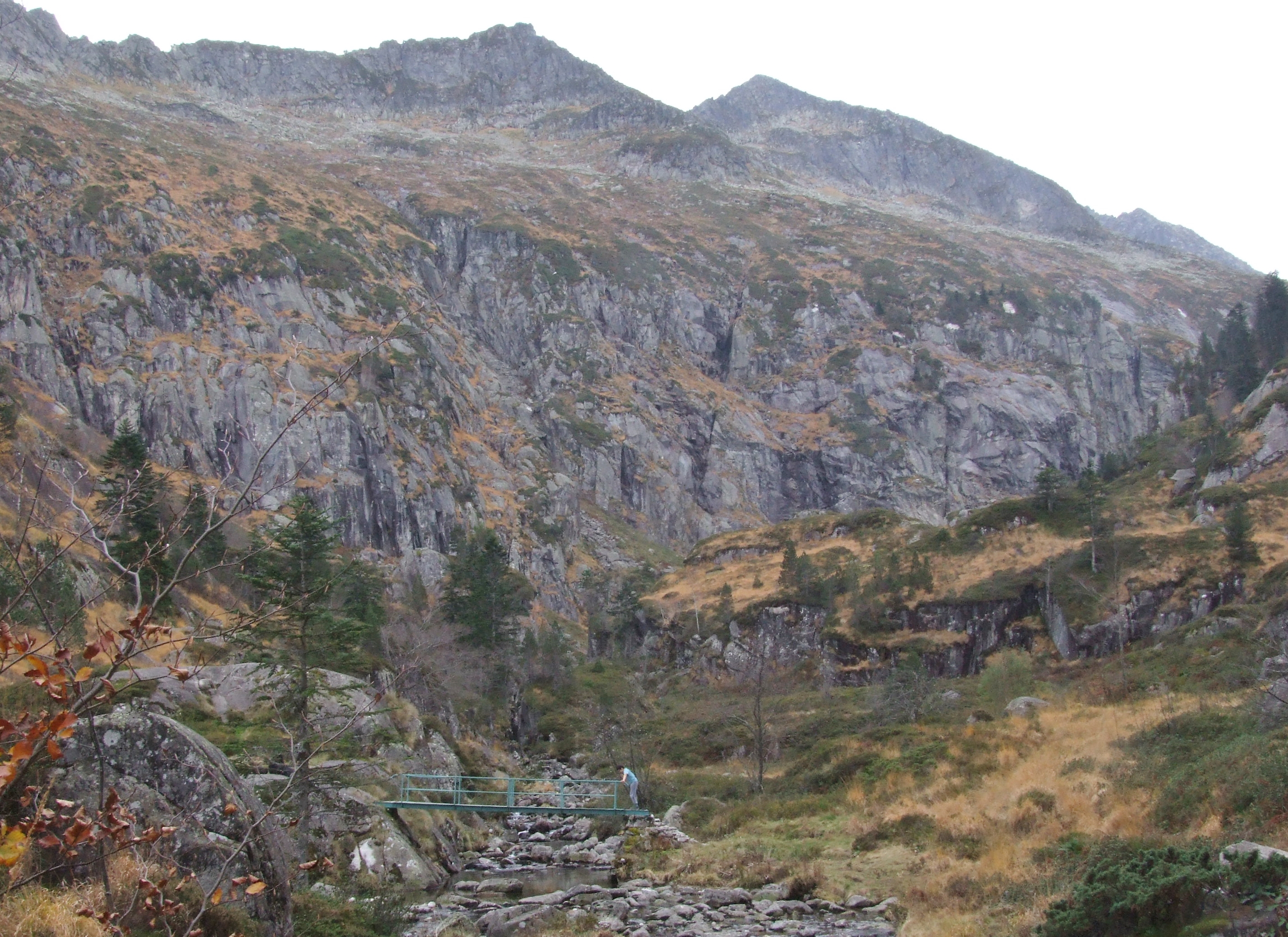
Eventually you come out into the open Plateau de Souliou with a view of the cirque of Pic de Mont Rouge ahead (image 1 below). Look over to your right and you’ll see the lifts of the Guzet ski resort, as well as Pics de Cerda and Freychet (image 2).
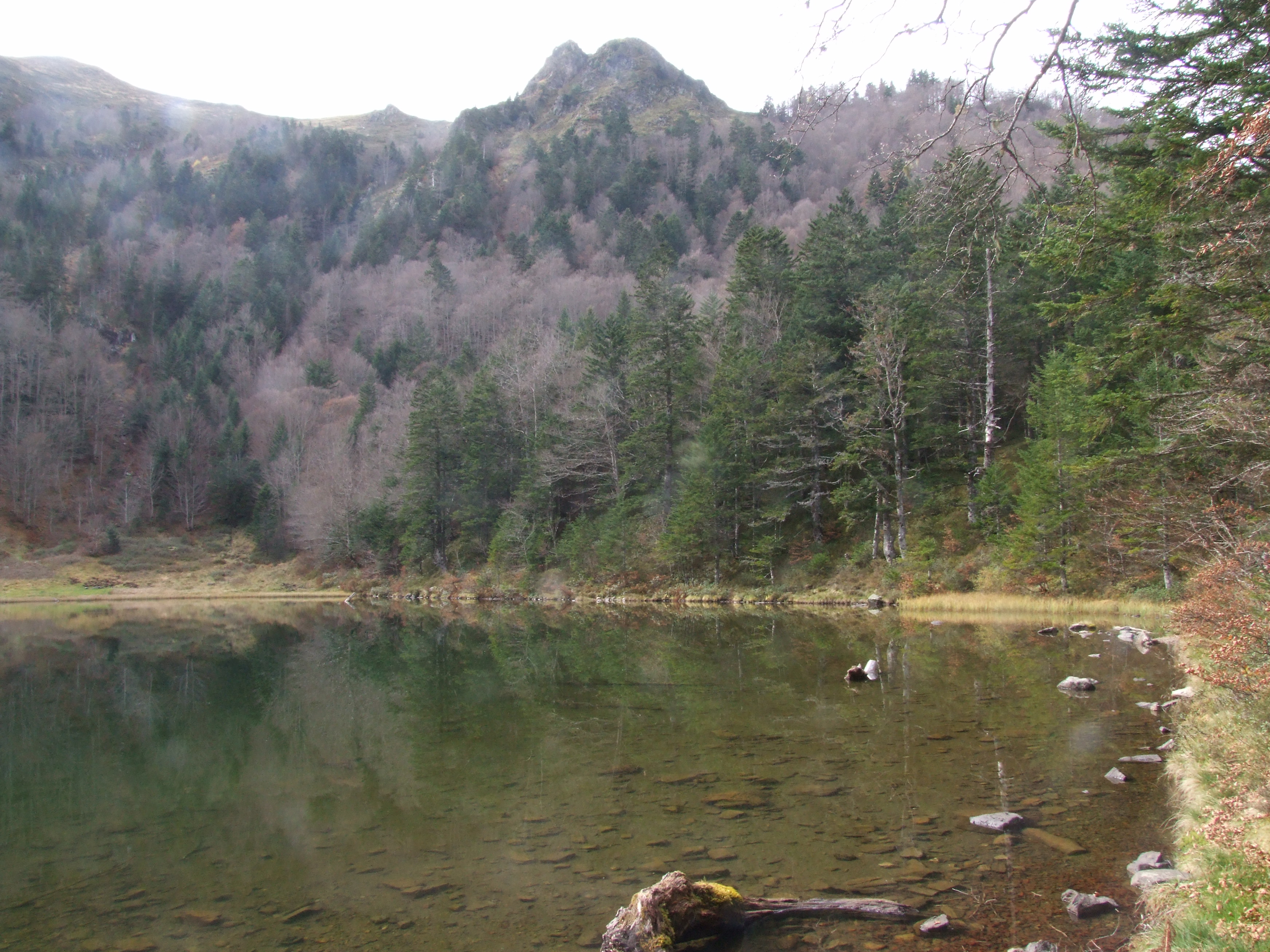
Then continue to follow signs for the étang de Guzet, climbing up through the woods until you see a marked path down on the right to the lake shore. It’s a tranquil spot. Look out for the twin ‘claw’ summit of Pic de Crabe (image 3) reflected in the water.


If you just want to go a little further, you can follow the path up to the recently restored Cabin de Guzet that overlooks a small pass – another lovely spot to sit awhile.
Or, if you’re doing the whole round trip, then from here the path continues around the lower flank of the mountain, heading towards the Cascade. It’s not that far but it’s slow going and tiresome in places as you step over the debris of avalanches (see warnings below).
It’s a relief to arrive at the Passarelle d’Ars, the metal bridge over the river Ars at the top of the Cascade. This is yet another serene spot where you might be tempted to pause and take in the view up the valley towards Pic de Puntussan.

Cross the bridge and the path takes you steeply down alongside the Cascade d’Ars, and you can follow the GR10 back to Aulus. I did the round trip in around 5 hours.
Bear in mind that the path between the cabin and the top of the Cascade is susceptible to avalanches so it should be avoided in winter and spring or whenever there is snow.
Pdfs of the topography can be downloaded here and details and a map are available too, although they show the walk starting in the opposite direction from what I’ve given above.
