My favourite summit in the French Pyrenees: Climbing Pic Rouge de Bassiès 2676m

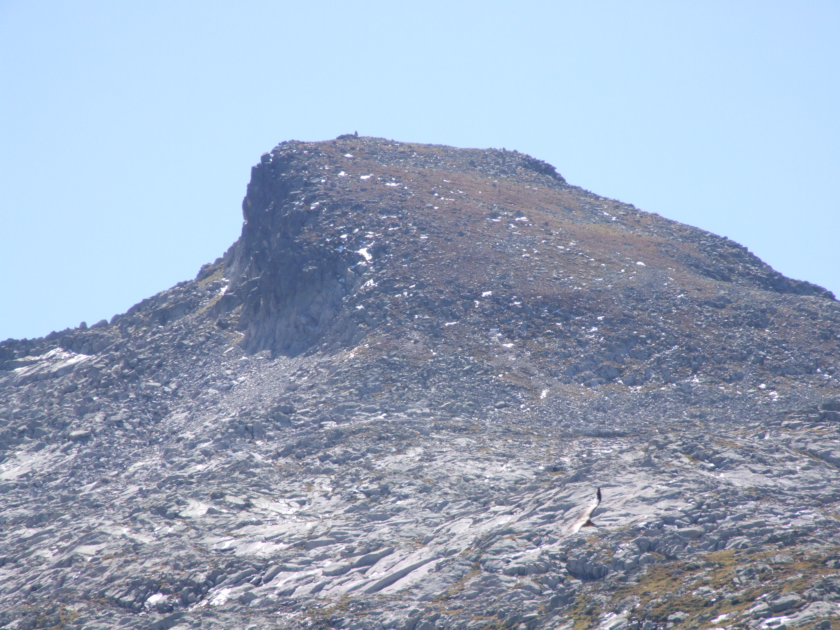
I don’t know why the golden half-dome of this summit has taunted me ever since I spotted it on the horizon of Pyrenean peaks in the Ariège. Its distinctive profile seemed to pop up everywhere I went.  Rising up smoothly on one side, the dome breaks off abruptly where its eastern side has been chiselled away, no doubt by long-ago ice action.
DSCF3141

Walking through the woods in winter, I’d spotted it rearing up in white like a petrified breaking wave, the only hint that there was a mountain chain there at all.  At 2676m it was higher than anything else I’d reached apart from Mont Valier, but it isn’t a technical climb, just a rollercoaster of a long, long ridge that rises and falls as it switches through changing terrain.

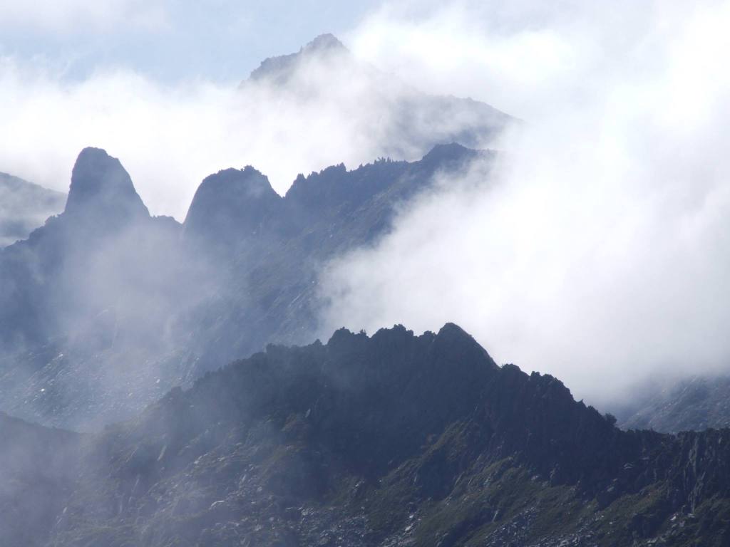
I’ve wanted to stand on that summit for years, although I’d turned back twice; once because the jagged teeth of the approach ridge looked too scary, and the second time when a large bank of cloud suddenly engulfed the summit dome, just as I was at its foot.

This October, seeing a window of clear, cool days, I set out to do it.

Parking at Coumebière (1400m), the round walk is about 15-16 miles with a height gain of 1276m, so it’s a very long day, with some tiring scrambling across a boulder field of pink-tinged rocks that give the peak its name.
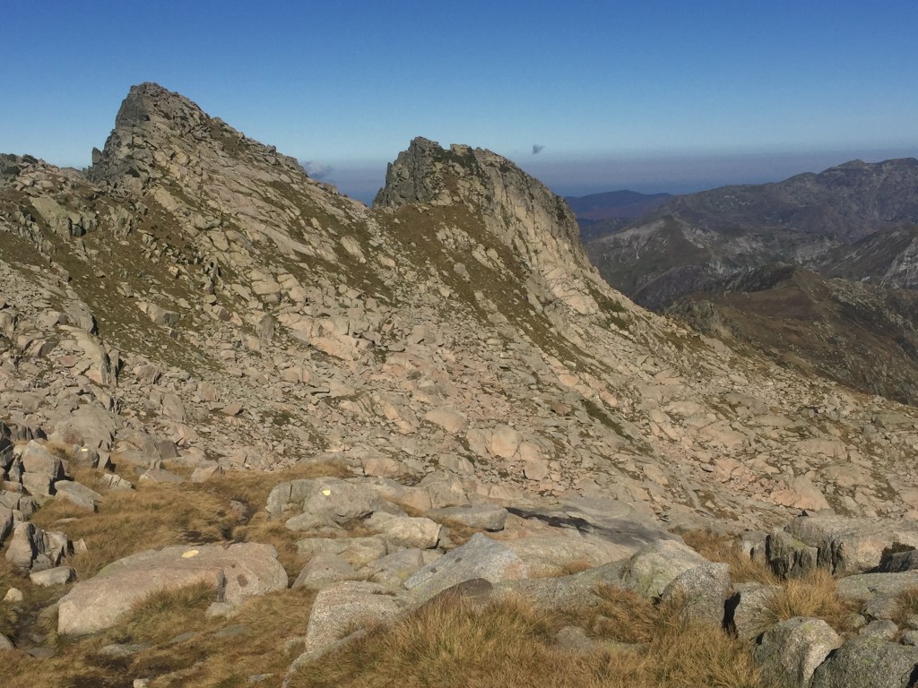
From Coumebière follow signs to the étang de Labant, then climb up through the beech woods behind it to gain a small col on the ridge. Take a moment to enjoy the stupendous view over the Garbet Valley and the glacial cirques to the south, before turning left onto the uppermost path. Follow this path above the Garbet and eventually it turns left to rise steeply up to the main ridge that overlooks the Bassiès lakes. The destination summit is now visible in the far distance.

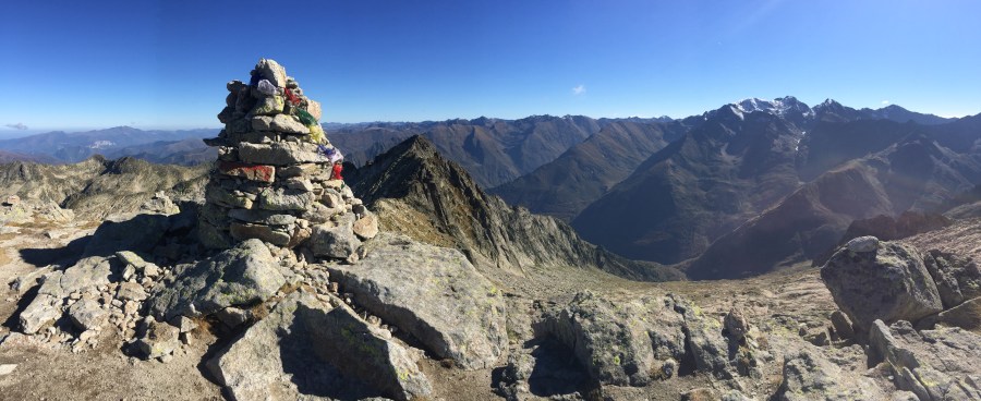
Follow the ridge path as it takes you over Pic des Planes and Cot de Morech, and then as the ridge becomes spiky with towering rocks, the path turns to the left of that crest, keeping below it. After an hour of scrambling over boulders – keep an eye open for the cairns and yellow markers – you’re at the foot of the summit dome. The path zig zags up steeply until suddenly, there’s the tall summit cairn ahead, and you’re looking across the other side to the Montcalm massif.

If you’ve ever walked to the etang du Garbet, you’ll recognise the craggy ridge of the surrounding cirque (with the distinctive notch of the couillade de Puntussan) down to the west, along with Puntussan itself and a glimpse of  étang Bleu.

IMG_3040
Looking down at the ridge behind etang du Garbet and Puntussan

It was 5 hours up and 4 down for me, but I’m slow.

If you have the energy, some make it a round walk by diverting south beneath the ridge of Cabanatous with a stop at étang d’Alate. And for further inspiration, I highly recommend this Youtube video of the route, set to Xavier Rudd’s fabulous Spirit Bird. It certainly inspired me to persevere (although I passed on doing a summit handstand…)

For more details of the route and a map, try the Lone Peak Bagger‘s site.
A hike to Étang de Guzet and Cascade d’Ars in the French Pyrenees

Escape the crowds and discover a secluded mountain lake in the unspoiled Ariège region of the French Pyrenees

The triple waterfalls of Cascade d’Ars are deservedly well known, but it’s possible to make a longer round walk that takes in the étang de Guzet. Or, if you’ve already walked to the falls, a hike up to this beautiful hidden lake itself is well worth it, and it avoids the crowds that tend to stick to the falls.

Etang de Guzet
Etang de Guzet

I started from the car park in Aulus les Bains and walked a short way up the D8F towards the Col de Latrape.  Ignore the left turn to the Cascade and soon afterwards you take a path up to the left, heading steeply up through the forest and crossing the forest track at one point. 

Eventually you come out into the open Plateau de Souliou with a view of the cirque of Pic de Mont Rouge ahead (image 1 below). Look over to your right and you’ll see the lifts of the Guzet ski resort, as well as Pics de Cerda and Freychet (image 2).

Then continue to follow signs for the étang de Guzet, climbing up through the woods until you see a marked path down on the right to the lake shore.  It’s a tranquil spot.  Look out for the twin ‘claw’ summit of Pic de Crabe (image 3) reflected in the water.

Continue reading “A hike to Étang de Guzet and Cascade d’Ars in the French Pyrenees”

How to climb Tuc de la Coume, Le Port, Ariège French Pyrenees

A long ridge with a stunning panorama. But it’s not easy to find a route on the map.

For years I’ve gazed at this summit (image 1), wondering how to get there as there’s no direct path marked on the maps. It’s a relatively easy summit on a long ridge that lies between the valley of the Garbet (the section running from Ercé to Aulus) and the Courtignou valley (the D18) from Massat up to the étang de Lers.

At 1745m it’s not especially high but you get a 360 degree panorama of both the summit chain and the surrounding valleys. The final bit is steep and the tiny summit feels somewhat exposed, especially when peering down the scarp of the eastern flank.

The route I’ve given starts at the étang de Lers (between Le Port and Aulus).

Continue reading “How to climb Tuc de la Coume, Le Port, Ariège French Pyrenees”

Étang d’Areau from Col de Pause

The Col de Pause is a starting point for some wonderful walks, as well as an up-close view of Mont Valier.

This describes a walk up to the pastures known by various spellings: Areau, Arreau, Arréou and Areou, and its emerald green lake.

Some brave souls drive up to the parking area at the Col, but the road gets rougher and narrower beyond Laserre, so I park at Laserre and then walk along the GR10.  That takes me around 40 mins to get to the Col de Pause.  I never fail to be amazed by the view of Mont Valier up close:

Continue reading “Étang d’Areau from Col de Pause”

A 360˚ Panorama from Pic de Girantès / Mont Ceint, and an absent reminder of the French Résistance

At 2088m, Mont Ceint (also known as Pic de Girantès) gives a superb 360° panorama over the surrounding ridges and valleys. It’s also a fairly accessible and straightforward hike, although steep on the upper section.

The most straightforward route is from the parking at Coumebière.  The first stage follows the GR10 zig zags (les lacets) that bring you up to the Port de Saleix in around an hour and a half.

Spring gentian above Port de Saleix

Continue reading “A 360˚ Panorama from Pic de Girantès / Mont Ceint, and an absent reminder of the French Résistance”